Big Bear · Trails & routes
Castle Rock Trail 1W03
Short, steep climb to a granite outcrop above the south shore
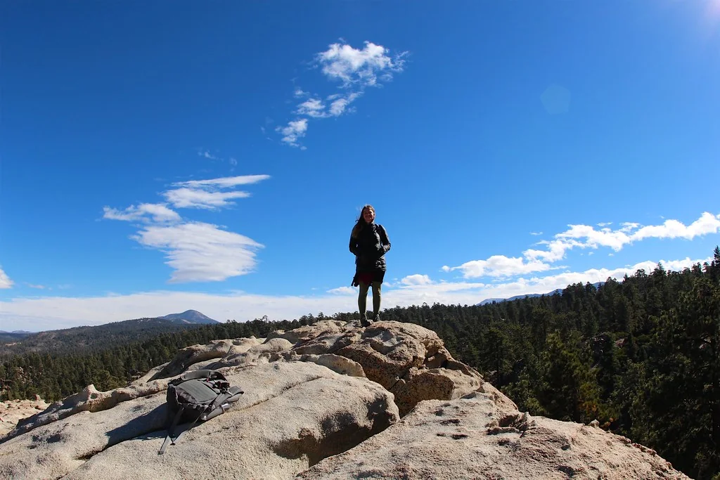
Managed by San Bernardino National Forest
A San Bernardino National Forest trail on the south side of Big Bear Lake, officially signed as Castle Rock Trail 1W03. The Forest Service describes roughly 500 feet of elevation gain, with the first half mile steep before the grade levels out for about another half mile.
Castle Rock itself is described by the Forest Service as a large 100-foot outcropping — the granite is the destination, and the lake views on the way up are the reason people keep coming back.
Getting there
- The trailhead is on the south side of Highway 18 west of Big Bear Lake village.
- Parking here changed recently: the City of Big Bear Lake announced a dedicated Castle Rock trail parking lot at 38501 Big Bear Boulevard and says highway shoulder parking is no longer allowed. Parking rules are set and enforced by the city, not by us — read the city notice before you park.
- We do not publish trail condition, ice, snow or closure status. Check the Forest Service alerts page the day you go.
Safety & etiquette
- Steep and rocky at the start; the granite gets genuinely dangerous when wet or icy.
- It is a short trail but a real climb at around 7,000 ft — bring water even for an hour out.
- Highway shoulder crossings are hazardous. Use the designated parking area.
Keep exploring nearby
- Pine Knot Trail 1E01 & Grand View Point →
Oaks, pines and wildflowers to a south-rim overlook
- Bluff Lake Reserve →
High-elevation nature preserve southwest of Big Bear Lake
- Cougar Crest Trail 1E22 →
North-shore climb that meets the Pacific Crest Trail
What we don't publish
Round-trip distance, current parking availability, trail conditions and closures are not published here — the Forest Service page and the city notice are the sources.