Hiking trails, mountain bike trails and Forest Service 4x4 / OHV routes. Every route links to the managing agency's own page. We do not publish open/closed status — that changes daily.
Before you go
Check current conditions & closures with the San Bernardino National Forest.
Trails and forest roads close seasonally and for fire, storm damage and forest orders. We don't publish snow, closures or open status because there is no source we can verify continuously.
Five quieter places — a protected lake, a famous tree, granite spires, a gold-rush valley and rare pebble plains — arranged in the order you'd actually visit them.
Easy/Moderate multi-use community trail network on private property
A multi-use community trail network on the north side of Big Bear City. Visit Big Bear rates it Easy/Moderate and describes it as sitting on private property, with public use dependent upon responsible behaviour.
High-elevation nature preserve southwest of Big Bear Lake
A high-elevation preserve in the Big Bear Valley of the San Bernardino Mountains, built around a roughly 20-acre lake with mountain meadow and marsh, surrounding pine forest and rare native plants.
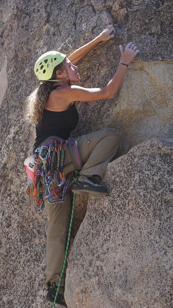
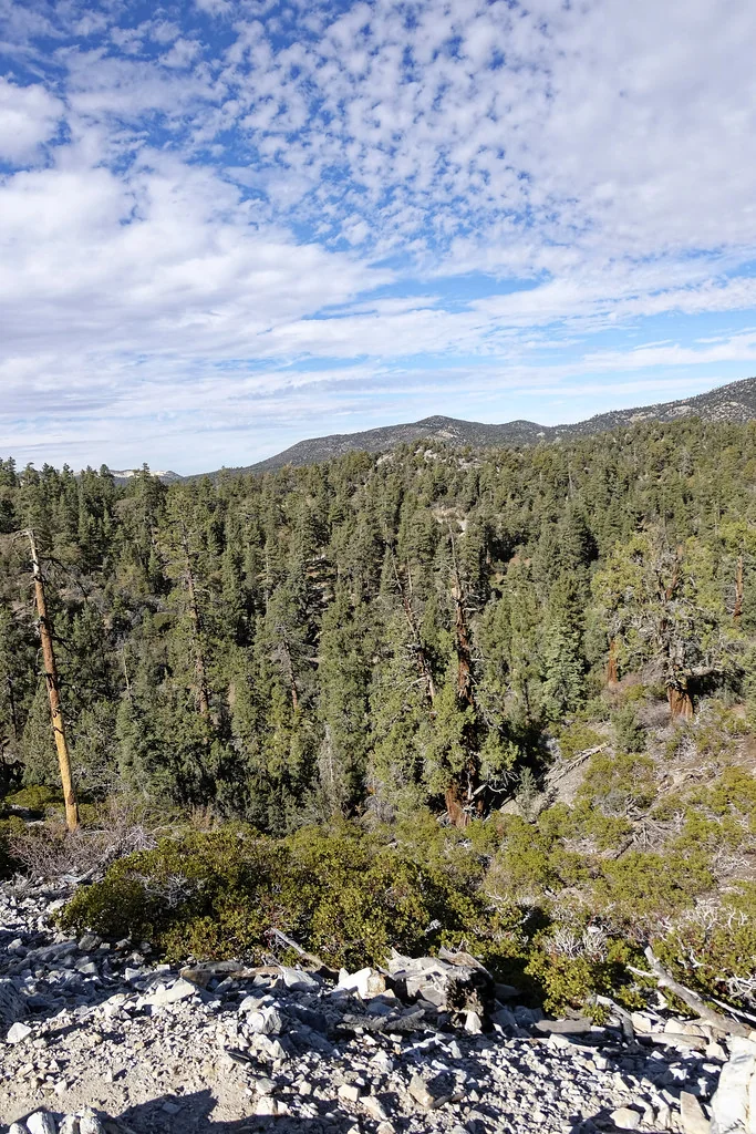
Photo: San Bernardino National Forest·Public domain ↗Holcomb Valley climbing photograph; the individual formation is not identified as a named Pinnacles route.
Rock climbingBoulderingHikingForest roads
Holcomb Valley Pinnacles
Granite climbing & outdoor recreation area north of Big Bear Lake
A granite outcrop area in Holcomb Valley, in the San Bernardino National Forest north of Big Bear Lake. It is known for sport and traditional rock climbing and bouldering, with hiking and scrambling between the formations.
Short, steep climb to a granite outcrop above the south shore
A San Bernardino National Forest trail on the south side of Big Bear Lake, officially signed as Castle Rock Trail 1W03. The Forest Service describes roughly 500 feet of elevation gain, with the first half mile steep before the grade levels out for about another half mile.
North-shore climb that meets the Pacific Crest Trail
The Forest Service's Cougar Crest Trail 1E22 climbs from the north shore of Big Bear Lake through pinyon pine and juniper, and the agency page confirms it connects to the Pacific Crest Trail.
Oaks, pines and wildflowers to a south-rim overlook
Pine Knot Trail 1E01 climbs south out of Big Bear Lake. The Forest Service describes it passing through oaks, pines and wildflowers and leading to Grand View Point.
Short forest walk near Bluff Lake to a famous old tree
The Forest Service maintains a Champion Lodgepole Pine Trail page as part of its Pacific Southwest wildflower viewing areas, in the Bluff Lake area southwest of Big Bear Lake.
The historic gold-rush valley north of the lake, by vehicle
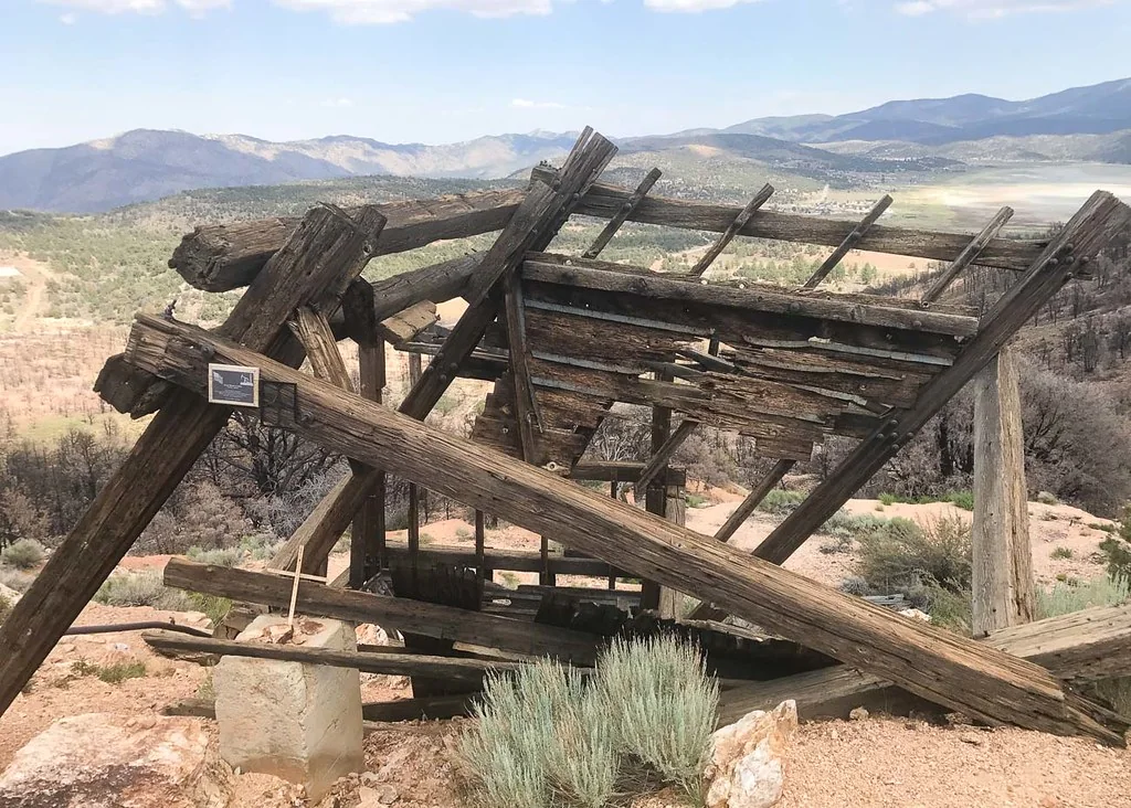
Holcomb Valley, north of Big Bear Lake, was Southern California's biggest gold rush site and is now threaded with Forest Service roads and designated OHV routes.
The forest's visitor information hub on the north shore
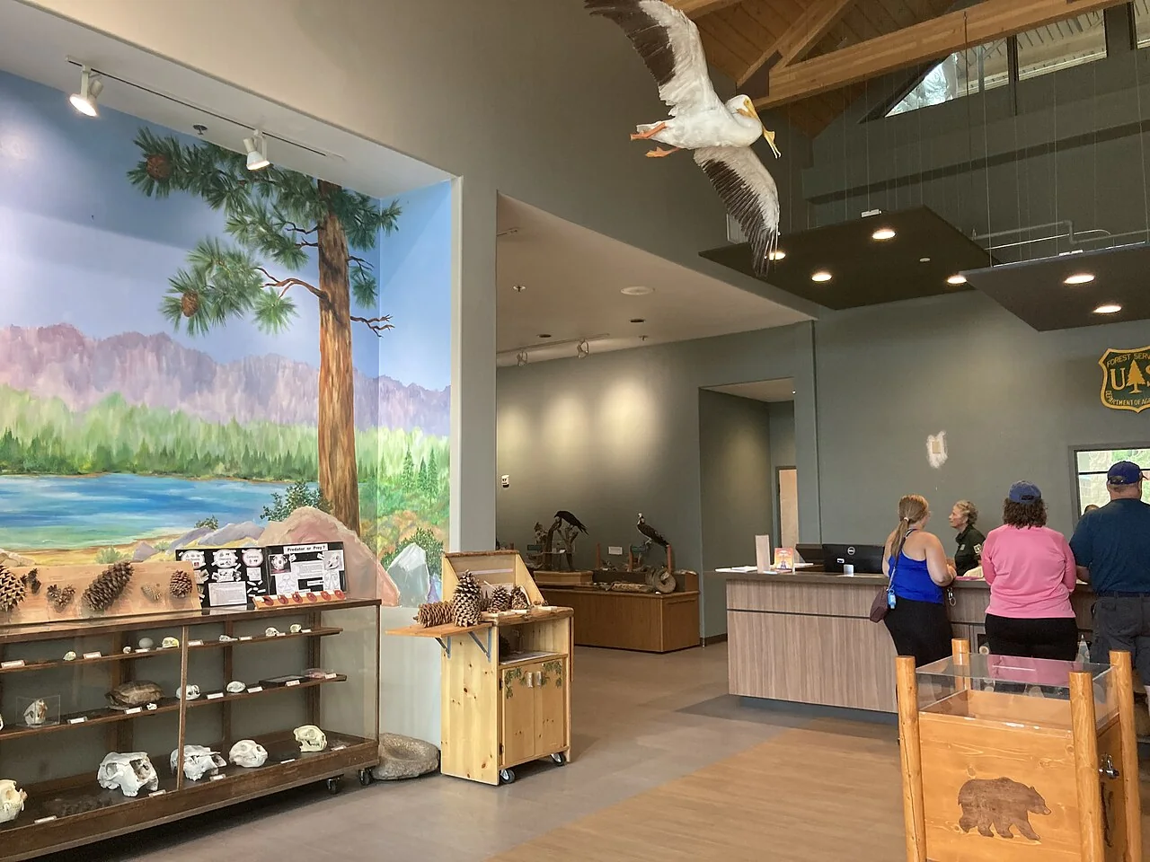
The Discovery Center is the Forest Service's visitor centre for the Big Bear Valley, on the north shore of the lake. The agency's Woodland Trail 1E23 page names it as the place where trail brochures are available, and it also appears in the Forest Service's wildflower viewing area listings.
Pebble plains and wintering bald eagles east of the lake
A 156-acre state ecological reserve east of Big Bear Lake. CDFW describes it as protecting a unique pebble plain plant community and vernal wet meadow habitat, and notes its significance for a wintering population of bald eagles.
The PCT crosses the mountains north and east of Big Bear Lake. The Forest Service documents the local stretch as 'Pacific Crest Trail, Onyx Peak to Holcomb Creek' — roughly 42 miles point to point, a multi-day section hike.
Wildlife rehabilitation centre in Moonridge you can visit
The Big Bear Alpine Zoo is a wildlife rehabilitation and conservation facility first, and a place to visit second. Animals here are injured, orphaned or imprinted wild animals — the goal is treatment and release, and the residents you see are the ones that could not be returned to the wild.
Cross-country trail built within a firebreak, beginning at the intersection of Forest Roads 2N10 and 2N06. It winds through stands of Jeffrey pine, manzanita and buckthorn as it parallels Forest Road 2N10, with few long hills and descents, and can be used to access many of the other trails within the South Shore Trail System. Elevation ranges from 4,920 to 7,000 ft.
Length (per agency): 14.92 miles
Who it's open to: Multi-use trail designed for hikers, mountain bikers and equestrian riders
Runs along the bottom of Snow Summit and heads toward Bear Mountain Golf Course, passing Pineknot Family Campground and Buttercup Group Campground. The Forest Service lists it as a standard terra trail.
The Forest Service stat table (length, difficulty, allowed uses) isn't readable from here — open the agency page for the current numbers.
Forest Service trail along the base of the mountains on the south side of Big Bear Lake, popular with riders linking the Snow Summit-side trail network.
Length, difficulty and the allowed-use list are published on the agency page rather than here.
Climbs south out of Big Bear Lake through oaks and pines. The Pineknot trailhead is reached from Aspen Glen Picnic Area, per the Forest Service site page.
Distance and difficulty aren't reproduced here — check the agency page. Grand View Point is commonly ridden from this trail but the connection isn't stated on the official page we could read.
Big Bear Mountain Resort publishes 23 downhill runs across its Snow Summit and Snow Valley bike parks, plus access to cross-country riding. The resort notes cross-country trails are not owned or operated by the resort.
Who it's open to: Lift-served downhill mountain biking (private resort, lift ticket required)
Operating dates, lift hours and pricing change — check the resort site.
The main OHV road through Holcomb Valley. The street-legal-only versus non-street-legal split is the detail riders get wrong most often, so read the agency page before you unload.
Length (per agency): Just over 26 miles (Green Valley Lake Road to the Dump Access Road near Baldwin Lake)
Who it's open to: Only the 11 miles between the Crab Flats Campground junction with 3N34 and Forest OHV Road 3N56 are open to non-street-legal OHVs; the rest of the road is for street-legal vehicles.
The Forest Service's official name for road 3N03, the route often called "Cactus Flats". It runs southeast from the Cactus Flat OHV Staging Area on Highway 18.
Length and the allowed-use list are on the agency page; we don't restate them.
Self-guided interpretive driving tour through the historic Holcomb Valley gold-mining sites, run by the Forest Service as the Gold Fever Interpretive Site.
Road surface and passenger-car suitability vary with weather and are not stated here — confirm on the agency page and the forest road report.
A staffed fire lookout above Fawnskin reached by forest road, and a common 4x4 / high-clearance destination on the north side of the lake.
The road number commonly given as 2N13C isn't confirmed on the official lookout page, so we don't publish it. Road condition and lookout staffing are seasonal.
These are real, well-known routes, but we could not read an agency page for them — so rather than copying numbers from crowd-sourced apps, we list them without stats.
Fern Trail 1E31 — No official agency page located; only crowd-sourced listings.
Grout Bay / Hanna Flats loop — Grout Bay Picnic Area and Hanna Flat Campground are official sites, but the "loop" is an informal third-party name with no agency trail page.
Forest Road 2N10 (Skyline Ridge) — Appears only as a reference in third-party route descriptions, not as a documented agency page.
Gold Mountain 3N69 — No agency page found; third-party difficulty ratings contradict each other.
John Bull Trail 3N10 — No agency page found; third-party mileages range from 6.7 to 15.4 mi.
Big Pine Flats OHV route — Only Big Pine Flat Family Campground has an official page; no agency OHV route page located.
Hiking facts from San Bernardino National Forest & Visit Big Bear trail guides. Bike, 4x4 and OHV entries link to the San Bernardino National Forest or the operator's own page.