Big Bear · Trails & routes
Pacific Crest Trail access near Big Bear
How to walk a piece of the PCT in an afternoon
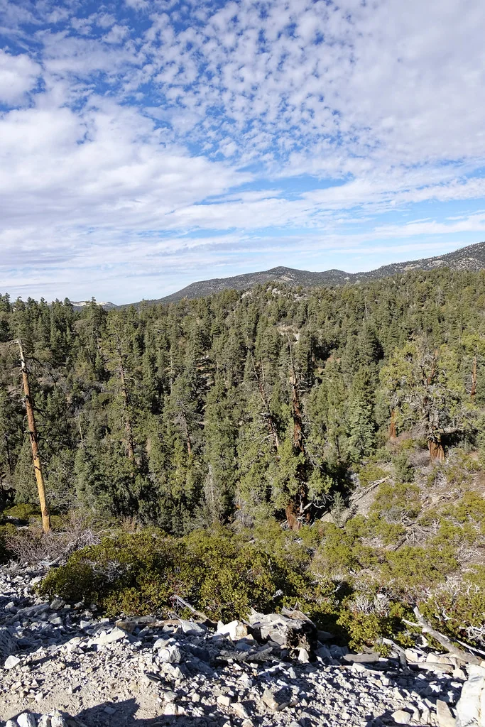
Managed by San Bernardino National Forest / Pacific Crest Trail Association
The PCT crosses the mountains north and east of Big Bear Lake. The Forest Service documents the local stretch as 'Pacific Crest Trail, Onyx Peak to Holcomb Creek' — roughly 42 miles point to point, a multi-day section hike.
You do not have to do that to stand on it. Two access points are documented by official sources and both work as a short out-and-back: Cougar Crest Trail 1E22, which the Forest Service says connects to the PCT, and Onyx Summit.
PCTA describes the Onyx Summit access off State Route 38: roadside parking for a few vehicles, then the right fork of a dirt road for less than a quarter mile to the signed PCT crossing, from which it is 4 miles north to the Arrastre Trail junction.
Getting there
- Cougar Crest trailhead is on Highway 38 on the north shore near the Big Bear Discovery Center.
- Onyx Summit is on State Route 38 southeast of Big Bear, at the highest point on the highway. PCTA notes parking there is limited to a few vehicles.
- Walk out and back, and turn around on time. This is a long-distance trail with no loop options at these access points.
Safety & etiquette
- No water on these sections. Carry everything you need.
- Dogs, bikes and motorised use are restricted on the PCT — check PCTA's rules before you go.
- Onyx Summit sits above 8,000 ft; weather changes fast and snow lingers.
Community information — not from an official source
Van Dusen Canyon Road 3N09 and Bertha Peak are frequently described online as PCT access points near Big Bear. We found no PCTA or Forest Service page documenting either, so we do not publish directions for them.
Keep exploring nearby
- Cougar Crest Trail 1E22 →
North-shore climb that meets the Pacific Crest Trail
- Big Bear Discovery Center →
The forest's visitor information hub on the north shore
- Gold Mountain & Holcomb Valley 4x4 / OHV →
The historic gold-rush valley north of the lake, by vehicle
What we don't publish
Snow levels, water sources, current trail conditions, fire closures and permit requirements for long-distance travel are not published here — PCTA and the Forest Service are the sources.